


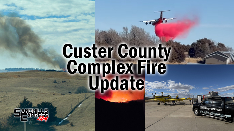
CUSTER COUNTY, NE – The fires burning in Custer County have now charred over 6,000 acres according to Public Information Officer Benjamin Bohall. Fires first started burning on Monday afternoon, and have persisted in various forms and locations since.
Bohall added that from a strategy and personnel standpoint, the fires have been put into “divisions”. The east division includes the Lillian Road and East Table Road fires, while the west division is made up of the Eureka Valley Fire.
Just before 4 PM Thursday, the east division fires are estimated to have burned 1,350 acres. Estimates for the west division fires sit at 4,800 acres. Collectively, 30 percent containment has been achieved between the fires.
Various aerial equipment has been used during suppression efforts Thursday, as a result of a disaster declaration from Nebraska Governor Jim Pillen. Helicopters and tanker planes have been spotted in the sky above Custer County.
Dangerous fire conditions are expected to worsen on Friday. The National Weather Service has issued a fire weather watch for the area from Noon until 8 PM as well as a red flag warning from 10 AM to 8 PM on Friday.
IMPORTANT NOTE FROM OFFICIALS: What is wildfire containment?
Expressed as a percentage, containment measures how much of a wildfire’s perimeter is surrounded by a control line. Fire officials only declare an area of fire as “contained” if they are confident the fire will not surpass the control, although it is not guaranteed. A fire is considered contained when completely encircled by control lines, including any spot fires. A “controlled” fire is contained and has been extinguished along the interior of the control line, with any remaining hot spots cooled down. Under normal conditions, these control lines are expected to prevent the fire from spreading.