


Central Nebraska could see large hail, strong winds and, possibly, a tornado or two on Friday afternoon, the National Weather Service said.
The front could give northeast Nebraska a glancing blow as it moves across the state, said Katie Gross, a weather service meteorologist based in Valley.
The Omaha metro area likely will avoid the severe weather, Gross said. Omaha could see a few showers and thunderstorms overnight, she said.
Saturday afternoon through Saturday evening, storms could fire up in southeast Nebraska and southwest Iowa, Gross said. Large hail and strong winds are possible, but there isn’t as much of a threat of tornadoes Saturday, she said. The chance for severe storms runs along and south of Interstate 80, the weather service said. Locally heavy rainfall may occur with the storms, increasing the potential for flooding.
Sunday, highs in the area are expected to drop back into the low 60s.
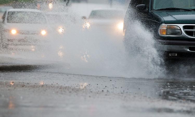
After record heat, storms are possible in Nebraska and Iowa into weekend
After record warmth on Thursday, storms are expected to flare up across parts of Nebraska and Iowa, from Friday into the weekend.
Forecasters are advising people, especially those with outdoor plans, to pay attention to changing conditions.
Of special concern is Friday night, when there’s an unusual risk of nighttime severe weather.
“It’s definitely something to keep an eye on,” said Alan Reppert, meteorologist with AccuWeather Inc., The World-Herald’s private weather consultant.
These springtime storms function differently from those of midsummer, he said. Most people in the Great Plains are used to storms dying out with nightfall as temperatures drop. But these storms have a different dynamic, so they could continue to spark and cause problems through Friday night.
The area at greatest risk of violent storms on Friday is central Nebraska.
Scattered, powerful supercells are possible, with damaging hail, strong winds, heavy rains and possibly a few tornadoes.
On Thursday, Omaha set a record high for the date, with the temperature peaking at 95 degrees.
The previous record for May 16 was 93, set in 1944 and 1939.
Another warm day is on tap Friday with highs approaching 90 in Omaha, but the cold front that has been the spark for these storms is dropping south.
As a result, temperatures will fall.
Late in the weekend into next week, daytime highs are forecast to drop back into the 60s, with overnight lows in the 50s and even the 40s.