


A dangerous storm — perhaps one for the record books — sweeps across the central U.S. Wednesday, and it could deal a crippling blow to Nebraska.
The system is expected to bring the worst blizzard in years to western Nebraska and a major risk of flooding to eastern Nebraska and Iowa.
Nebraska Gov. Pete Ricketts on Tuesday issued an emergency declaration freeing up state agencies to more quickly help out.
“This storm system is nothing to take lightly,” said Brett Edwards, meteorologist with AccuWeather Inc., The World-Herald’s weather consultant. “It will lead to incredibly hazardous travel conditions.”
Steve Rubin, a meteorologist with the National Weather Service, said the blizzard could bury western Nebraska in one to two feet of snow, with drifts of five to 10 feet.
The blizzard “is shaping up to be one of the worst,” he said, and the Nebraska Panhandle is likely to bear the brunt.
“People should not travel if they don’t absolutely have to,” he said.
Anyone with travel plans anywhere in the region on Wednesday and Thursday should check and monitor road conditions and forecasts. Areas not under a blizzard warning are either under a winter storm warning or at some risk of flash flooding. Overlaying all of this will be widespread, dangerous wind gusts Wednesday into Thursday, according to Edwards.
“Areas all the way from northern Texas, through Oklahoma, Kansas and Nebraska will see these high winds,” he said.
The storm system barreling into the region Wednesday will be noteworthy for its rapidly dropping pressure. Some places could see record low pressure, Edwards said.
That deep drop in pressure is fueling the storm’s strength, he said, powering its winds and pulling in moisture from the Gulf of Mexico.
That Gulf moisture will feed the flooding rains in eastern Nebraska and Iowa, and the snow in western Nebraska. It is also the reason the Nebraska City area will warm up so much on Wednesday. Highs are forecast in the upper-50s as the system pulls warm, moist Gulf of Mexico air northward.
Here is a look at the latest storm total rainfall forecast / Not much change / Still soggy with major to historic flooding possible on area rivers! #newx #iawx pic.twitter.com/NBFdjbl1qx
— NWS Omaha (@NWSOmaha) March 13, 2019
Major flooding is possible along streams in eastern Nebraska and Iowa, said David Pearson, hydrologist with the National Weather Service. Urban flooding also is possible.
The forecast calls for about 1 inch to 2 inches of rain, with locally higher amounts possible. Those totals aren’t unusual, but the situation is worrisome because of the frozen ground, ice-choked rivers that are already high and snow cover. A flood watch has been issued for 1 a.m. Wednesday into Thursday evening.
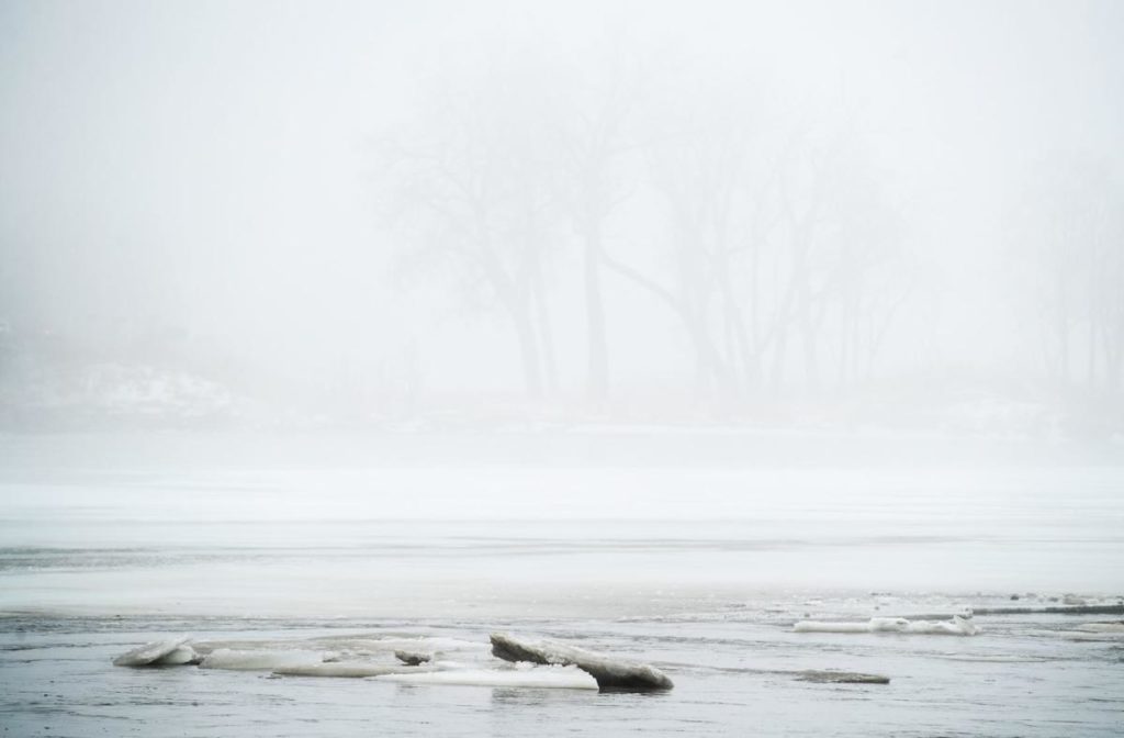
Dense fog Wednesday morning could make it difficult to see flooding, the weather service has warned. A dense fog advisory is in effect until noon.
In the near term, the threat of ice jam flooding runs from Wednesday to Friday, Pearson said. After that, the risk depends upon how much ice remains in rivers, he said. Beyond this weekend, there’s a general threat of spring flooding.
Nearly every stream has some sort of warning attached to it, but those at risk of major flooding include the Shell Creek and North Fork of the Elkhorn River in Nebraska. In Iowa at risk of major flooding are the Big and Little Sioux, the Floyd, the Nishnabotna and West Nishnabotna Rivers.
The National Weather Service in Omaha issued a flood warning until further notice for the Missouri River affecting Mills, Cass, Fremont, Otoe, Atchison, Nemaha, Holt and Richardson Counties in southeast Nebraska, southwest Iowa and northwest Missouri. Moderate flooding of the river is forecast. It’s expected to rise above flood stage by late Wednesday evening and continue to rise to near 25.6 feet by Sunday morning. Highway 2 may begin to flood at 25.5 feet.
Other rivers and streams in a flood warning:
- The Little Nemaha River at Auburn – expected to rise above flood stage by tomorrow evening and continue to rise to near 22.1 feet by tomorrow evening.
- The Tarkio River at Fairfax affecting Atchison and Holt Counties – Moderate flooding is occurring and Major flooding is forecast. The river will continue rising to near 28.0 feet by Wednesday evening. At 25.6 feet, Flood waters will reach the intersection of State Highway J and U.S. Highway 59 on the west side of Fairfax. At 25.0 feet, Levees in the vicinity of Fairfax are overtopped.
- Nodaway River near Burlington Junction affecting Andrew, Holt and Nodaway Counties. Minor flooding is forecast. The river is expected to rise above flood stage by late this afternoon and continue to rise to near 26.5 feet by early Thursday morning.

Weather officials have advised people along rivers to prepare ahead of time for voluntary evacuations. Get livestock out of harm’s way and don’t leave pets behind. Think about your personal needs, like medication. And consider that you might need an alternate route to safety.
The Papio-Missouri River Natural Resources is prepared to dynamite ice jams on the Platte River and Ricketts’ office has authorized coal ash dusting of ice on the Loup and Platte Rivers. Conditions won’t be safe enough for dynamite until Thursday, and coal ash dusting could begin by Friday.
Travel in western Nebraska is expected to be difficult to impossible due to the potential for record snowfall combined with winds of 50 to 60 mph. The blizzard warning is in effect from midnight Tuesday through Thursday evening. Hazardous travel conditions are expected in central Nebraska where the storm will likely fall short of blizzard status, but still be treacherous.
STORM CLOSINGS AND CANCELLATIONS
ROAD CONDITIONS