


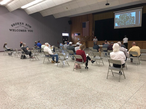
LLNRD— The Lower Loup Natural Resources District (LLNRD) has begun the process of identifying problems and receiving public input on the Upper Mud Creek Watershed. On Wednesday, September 16, LLNRD, Natural Resource Conservation Service (NRCS), and JEO Consulting Group met with the public to help gather further information about some of the problem locations regarding Mud Creek and its tributaries.
LLNRD Project Technician Brian Kolar, said the project is only in the planning and study phase, but they want the input of the public before they go forward on how to address the flooding issues from the Mud Creek Watershed. The project will also allow the different partners to address other concerns such as water quality, ag water management, and recreation.
Kolar stated that the LLNRD is the local sponsor for the project, with 100% of the planning cost paid by the NRCS through the Watershed and Flood Prevention Operations (WFPO). He also noted that the US Army Corps of Engineers is a cooperating agency through the project.
Currently, the project is in the beginning steps which include identifying problems, inventory resources, and analyzing data. Kolar said the hope is to have the data compiled and the analysis completed by the winter of 2020, to begin the drafting of the plan in the summer of 2021.
During the meeting, the LLNRD asked landowners and citizens to point out areas that were consistent flooding problems as well as places that flooded in 2019. A number of issues and locations were brought up including downed trees blocking the flow of water near the Broken Bow Golf Club, flooding on the Callaway Road, a washed-out bridge on Road 442, the bridge near the Custer County Fair Grounds, a tributary that funnels water through private land and floods fields, as well as other issues near Anselmo and Merna.
Kolar noted the locations and the issues on a map that will then be used in conjunction with additional data to make decisions on a possible future plan.
Some of the potential alternative plans that were shown to the public included: no action, dams, detention cells, levees/berms, diversion channels, channel widening/removal of channel constraints, bridge/culvert improvements, best management practices, property buy-outs or flood proofing, cropland conversion, wetland or oxbow storage/restoration, a combination of alternatives, and others as identified.
The LLNRD will continue to gather data from landowners at the next community meeting in Ansley on Wednesday, September 30 at the Municipal Auditorium from 6:30 – 8:00 PM.